
Why iObeya
A finding written on a clipboard has to survive a walk or a drive back to the office, and perhaps somebody’s evening to become an action. iObeya removes that gap: the observation is captured in the field, with the photo, and lands on the team’s board as an assigned action card before the walk is over. Field observation on the Digital Obeya Platform™.
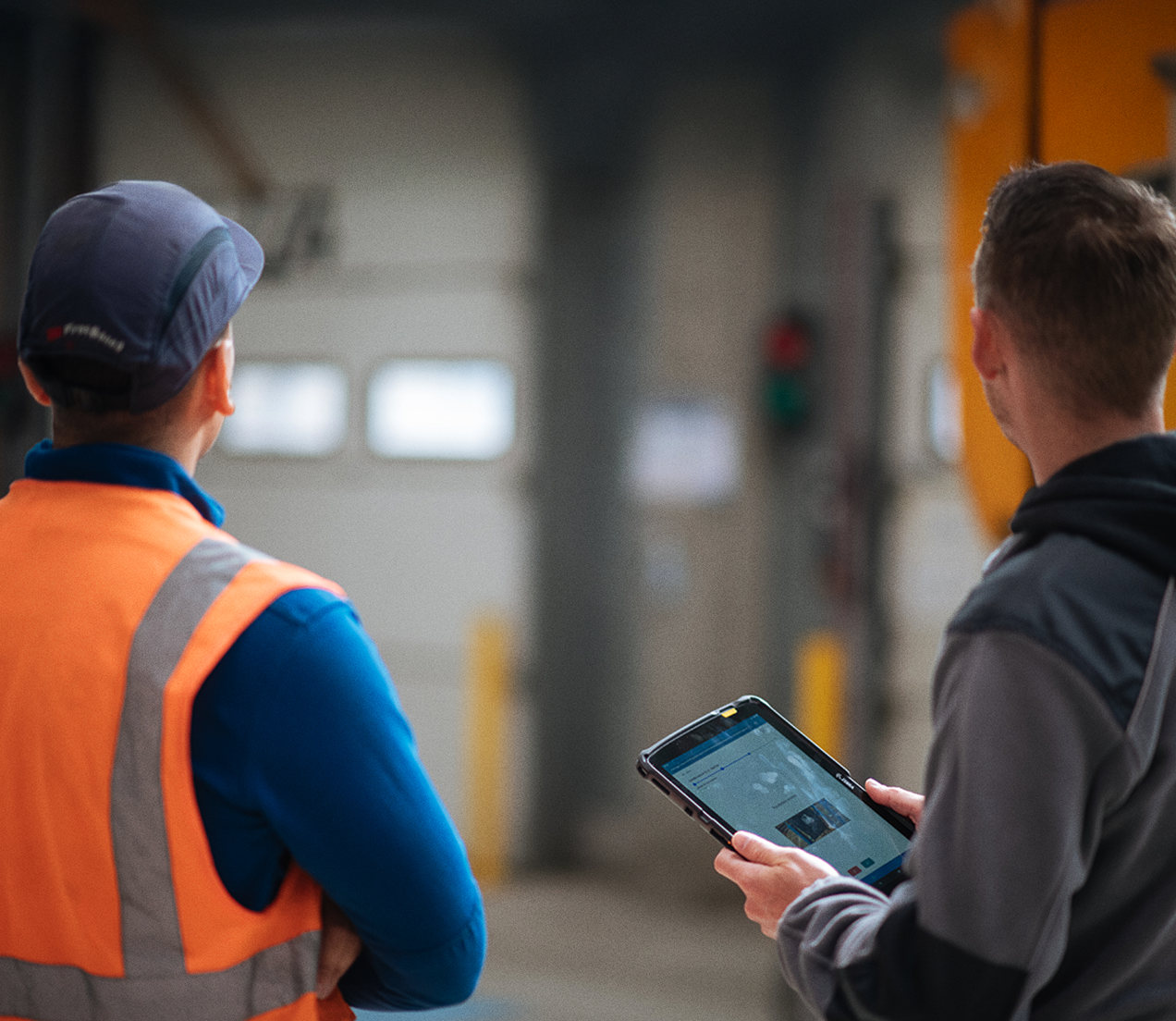

Responsable de service de Gestion de Stock, ID Logistics
The defined route and its points to check, the observation and the photo taken against it, the action card the finding turns into, and the indicator it moves. Five things that used to live in five different places.
Shift supervisors and team leaders walk their area, plant and area managers walk theirs, and the operational excellence team authors the route and checks it is being run as designed.
An audit tool ends the walk with a compliance score. Digital gemba walk software that is connected to you Obeya platform ends the walk with owned actions sitting on a live board.
Most tooling in this space treat a gemba walk as collecting data: capture the finding, file it, report on it afterwards. The finding then waits for somebody with time to turn it into work, and that person is the constraint. iObeya removes the wait by running the walk on the boards the teams already use during their meetings, so what the walker sees and what the team acts on are one and the same object.
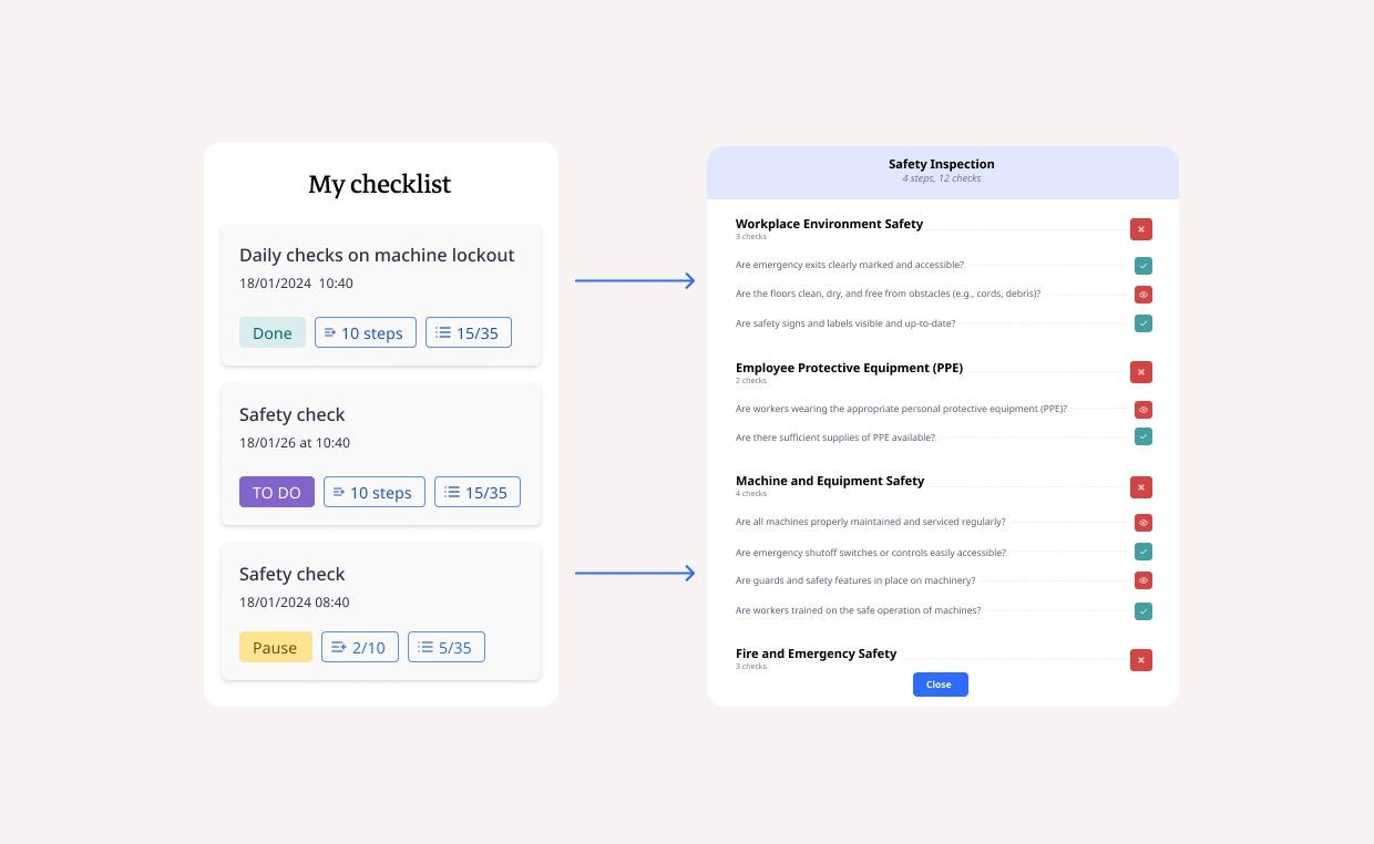
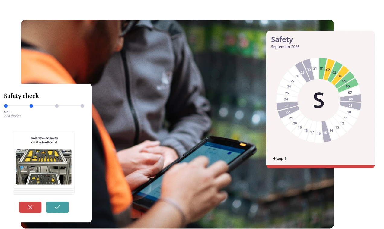
The route and its points to check are authored by the owner of the standard, and then assigned to the right person. A supervisor opens the app, sees the checklists that belong to them, and starts on the first item.
Two supervisors walking the same area cover the same points in exactly the same order; this is the difference between walks you can objectively compare and walks you can only discuss.
Nobody has to remember which stations were covered last time, or reconstruct the order from a photocopy folded in a pocket since March.
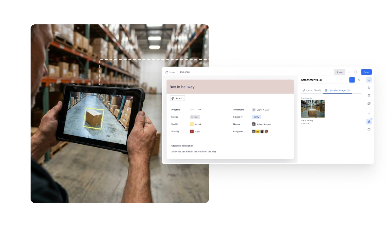
Mark a point non-compliant and the problem screen opens, already filled in from that point. Set the criticality, take the photo, and the image attaches to the problem rather than to a camera roll.
In iObeya the image travels with the finding all the way to the board, so whoever has to fix it sees what the walker saw.
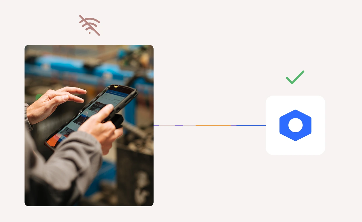
When the network signal drops, the walk carries on. Checks are validated, problems raised, photos taken, and the moment your device reconnects, everything captured offline syncs to the platform.
Nothing is lost between the far end of the route and the exit, so what gets recorded during the walk stops being decided by where the access points are.
Each confirmed problem is mapped to a room and a board as it is reported. It shows up as an issue card, photo attached, ready for an owner and a due date at the next huddle.
By the time the walk ends the work already exists where the team works, so the first anyone hears of a finding is no longer the summary email three days later.
Without the automatic creation the hour after the walk the issue gets entered, and the version reaching the board has lost the criticality, the photo, or the reason the walker stopped.
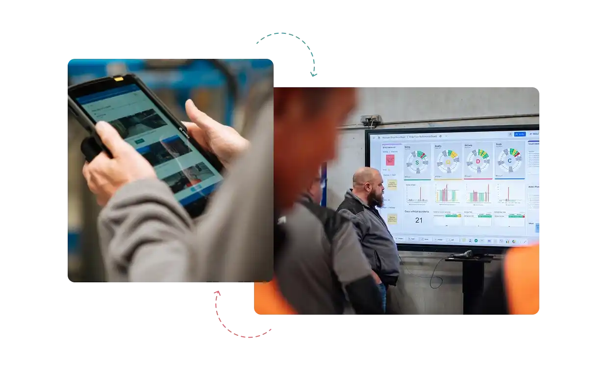
Counters attached to a point to check feed the indicator behind it. Filling one in during the walk updates the relevant letter on the team board directly, with no numbers sheet to transcribe.
Observation and measurement become one activity, and a team watches its own indicator respond to what the walk found on the day it was found.

Most gemba walk software splits the walk into two jobs: look now, record properly later. The tablet holds a form, the form gets submitted, and somewhere behind it a report gets assembled that hopefully someone will read on Thursday. The observation and the record are different objects from the moment they are made.
In iObeya the walker is working on the board itself. Marking a point, attaching the photo, setting the criticality: each of those is on the record, made once, in the place it will live. No form stands between the person who saw the problem and the object the team acts on.
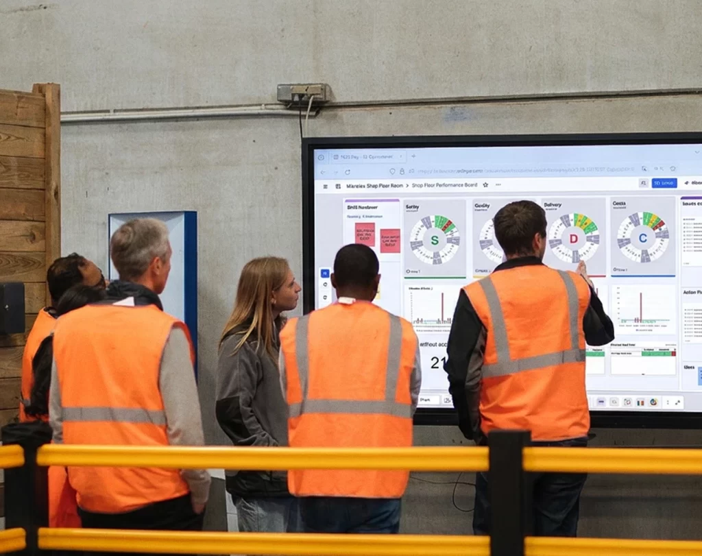
A digital gemba walk is only worth the tablet if what it produces reaches the right room and people. A finding at a packing line belongs on that team’s board. A recurring finding belongs in the tier above it. A safety issue belongs in both, immediately, without anyone forwarding anything.
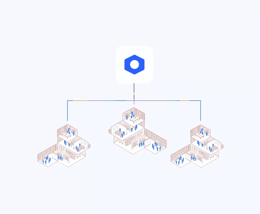
iObeya holds those rooms as a connected network rather than as separate files, so the walker chooses a destination and the finding arrives with its photo, its criticality and its history intact. When it cannot be closed where it landed, it moves up carrying all of that information.
Leader standard work software usually spreads the way a document spreads. A route template goes out, each site adapts it, and two years later there are ten versions of the same walk with different point counts and incompatible severity scales. Comparing them is a manual exercise nobody has time for.
iObeya deploys the standard as part of the solution. Route definitions, points to check and severity scales can be governed centrally while each site keeps its local practice. A group operational excellence lead reads another plant’s findings without a problem. A change to the standard reaches every site that runs it, rather than the ones that remember to check for updates.
iObeya customer video, digitising SIM and field walks
iObeya customer video, digitising SIM and field walks
iObeya customer video, digitising SIM and field walks
It is a structured visit to where the work happens, following a defined route and a defined set of points to check, so that leaders see the process for themselves rather than reading a report about it. Findings are recorded and turned into assigned work.
It is the tooling that carries the route, the checklist, and the observation on a tablet in the field, then posts what was found onto the team board as an action card with an owner. The paperwork step between the floor and the board disappears.
The checklist is rarely the gap. What happens afterwards is. A clipboard finding has to be typed up by somebody after the walk, which is where observations go quiet, where the photograph gets lost, and where the person who raised one stops hearing what came of it.
Yes. Observations, checks and photos are captured with no connection at all, and everything syncs to the platform the moment the device reconnects. Coverage of the route stops depending on where the wireless access points happen to have been installed years ago.
It is the ordered set of points to check on a given route, built by whoever owns the standard, usually the operational excellence team or the area manager, then assigned to the people who walk. Walkers open the one assigned to them.
An audit tool produces a score and a report. This produces work. A non-conformity becomes an action card on the board the team already meets around, with an owner and a due date, and it closes in the same place.
It can. Where a check point carries a counter, filling it in during the walk updates the indicator on the relevant letter of the team board directly, so the number moves while the walk is still happening rather than afterwards.
The route definitions and the points to check are governed centrally and deployed to each site, while each site keeps its own local practice. A visiting manager reads another plant's findings without needing anyone to explain the format.